Can I just say that camp life is awesome?
A typical day: Wake up, head out for a stellar sunrise run, eat breakfast, take a hike or ride a bike among the Davis Mountains, then sample a variety of afternoon class workouts. In between, there are meals in the mess hall followed by group gatherings. Evenings are chock full of stargazing and cocktail sipping with friends.
Life at Davis Mountain Fitness & Training Camp is good.
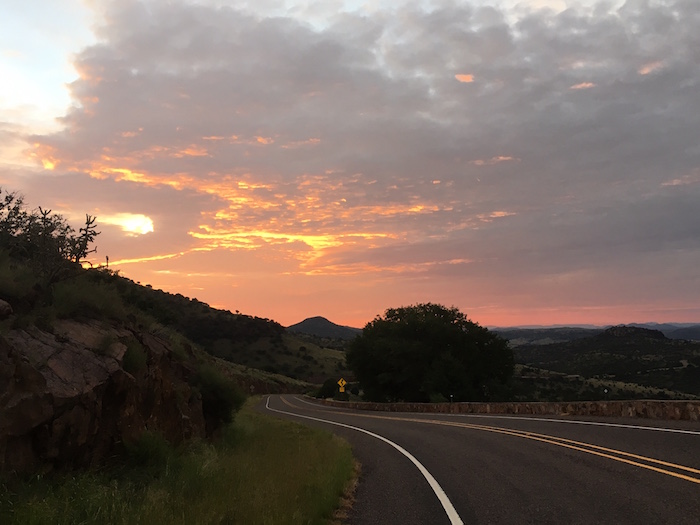
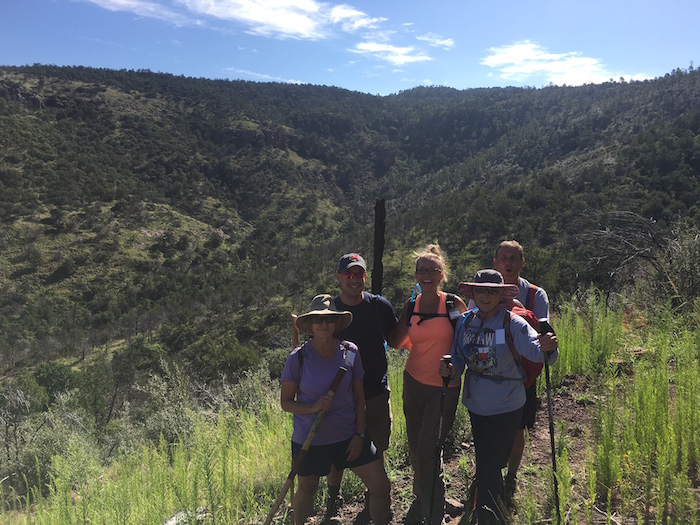
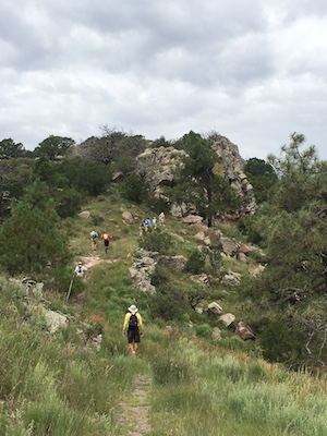
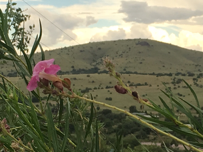
Over this week in August, camp members swim, bike, and run/walk/hike. With the beautiful Davis Mountains surrounding us, I’ve chosen to hike as much as possible. In the process, I’ve thought a lot about what’s necessary for a successful West Texas outdoor adventure.
3 Things to Think About When Hiking the Davis Mountains
Water
I don’t know how the first folk were brave enough to venture into the vast vistas of West Texas without knowing where to find water. The air is dry, land unshaded, and vistas brutally vast. Water evaporates; I mean, much of the Trans-Pecos region is part of the Chihuahuan Desert. On top of that, the area has been suffering from drought since 2011.
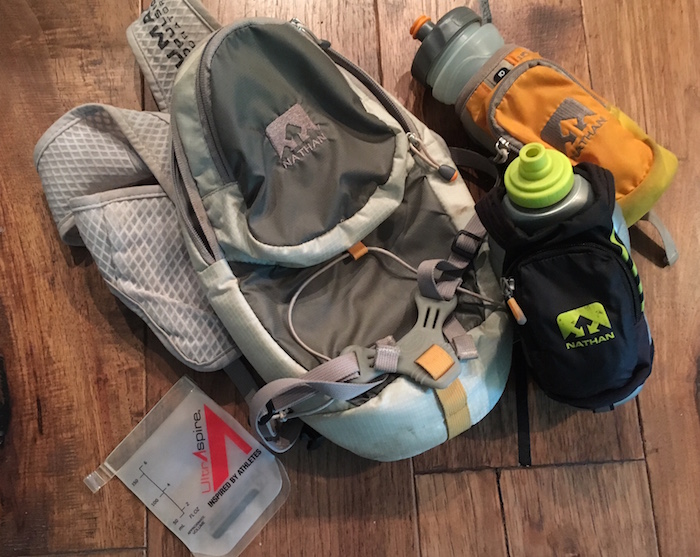
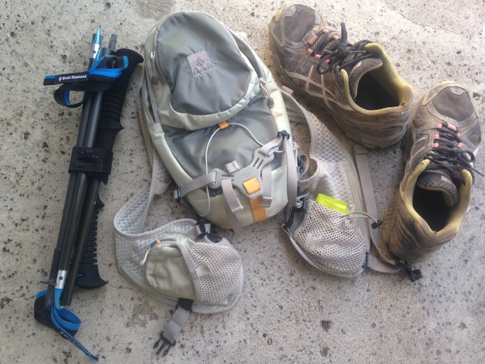
Bringing your own fluid when exercising is crucial. I carried my Nathan vest with a 70-ounce bladder for any hike longer than 2 miles; it’s better to have too much water than run out too soon. Having extra also means that fluids can go ON you as well as IN you. I also supplemented with SaltStick Caps, salt and electrolyte replacement tablets.
Just remember that hydration starts before the hike. Keep a water bottle handy and replenish fluids in the day preceding activity.
More here: “Carrying Water on Your Run”
Skin Protection
The Trans-Pecos region has “the highest mean annual solar radiation of any location within the United States.” There’s little shade, even when wandering among the Davis Mountain Preserve’s Ponderosa pines, aspens, cedars, and oaks. Sunscreen, a wide-brimmed hat to screen the neck, and appropriate clothing help provide protection. Sure, you’ll sweat through those lightweight pants and long-sleeved technical fabric shirts on strenuous climbs like the highest peak in the Davis Mountains, Mt. Livermore, which hits 8,378 feet atop Baldy Peak. (Did you know that all of Texas’ peaks higher than 5,000 feet are located in the Trans-Pecos area? The highest is Guadalupe Peak in the Guadalupe Mts. at 8,751 feet.)
More here: “Beaches, Tanning, and Sunscreen”
Because the air is dry in the Trans-Pecos region (also known as Big Bend Country), chafing can be a problem. Keeping some type of skin protectant on hand helps prevent bloody, painful raw spots, especially if you reapply at the first sign of discomfort. Carry a lip balm that has both moisturizer and an element of SPF. Lotion up after showers — I recently found ThinkSport’s After Sun/Sport Lotion with jojoba, menthol, vitamin E, and aloe, and my skin has drunk it up
.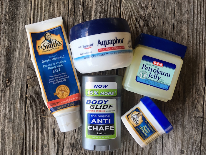
More here: “Getting Ahead of Chafing”

Hiking Shoes & Trekking Poles
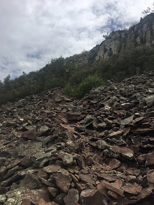
Most of the trails I’ve experienced in the Davis Mountains are fairly rocky. Even though it has rained most afternoons (June 15 through September 30 are, after all, “monsoon season” here), the ground drains well and there’s no residual clumpy mud. Trail running shoes work well, with their flexibility, grippy tread, reinforced toe kicks, and quick drainage. I like lightweight shoes that let me move as the trail allows–and it’s fun to run those downhills.
More here: “Making a Change to Zero-Drop Shoes”
The Davis Mountains has steep slopes, which means steep climbs. Trekking poles help immensely. Though many in our groups carried a single sotol walking stick, I like using two poles; this keeps the chest open and arm stress balanced. On the descent, I tucked my tri-folded poles into my backpack, safely out of the way for running.
More here: “What Trail Runners Should Know about Trekking Poles”
Where to Hike in the Davis Mountains
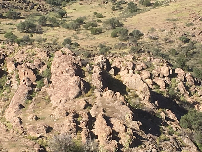
I’ve been lucky to have Davis Mountains Fitness & Training Camp organize the hikes I’ve attended this week. Staff member Michael Schramm plans trips to various locations and shares information along the way, on everything from favorite rattlesnake haunts to local history and native flora and fauna. If you can’t get to fitness camp next August, here are a few resources for hiking in the Davis Mountains.
- Chihuahuan Desert Research Institute: nice 2- to 3-mile loop, as a guided tour or to explore on own your own
- Davis Mountains Preserve: wide variety of trails, from a short but beautiful 2-mile single track loop in Madera Canyon to that adventurous Mt. Livermore ascent/descent
- Davis Mountains State Park: in addition to approximately 5–6 mile trails, there’s a great set of switchbacks on the road with prime sunrise viewing at the top
- Texas Mountain Trail Region: this website can help plan trips to all of Texas’ gorgeous mountain ranges


3 thoughts on “So You’re Hiking in West Texas…”